Geographic Information Sciences (GIS)
VIEW PROGRAM
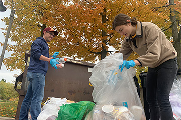
Get hands-on experience with the latest technology through internships, student research opportunities and active classes taught by innovative Central Michigan faculty members.
The Calkins Scholarship has $1500 scholarships available for incoming students of any major in the Department of Geography and Environmental Studies. Send an unofficial transcript and intended major to ges@cmich.edu.

The MGA is a network of teachers, geographers, and educators committed to using geographic content and skill to improve the educational experiences of Michigan students.